Team Members:
Luke Brogna, Rory Dickinson, and Tanner Honnef
Affiliation:
GEOG 293: Intro to Remote Sensing
Project Description:
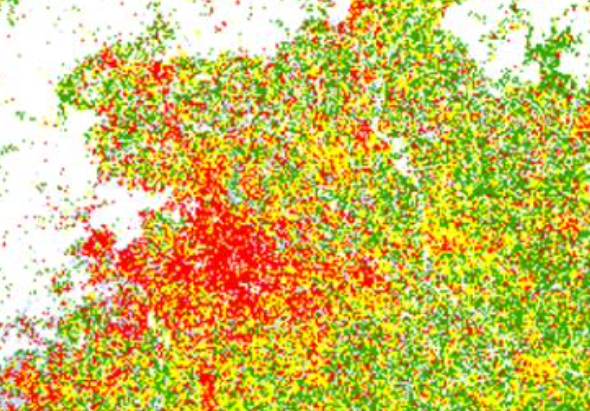
This project sought out to answer if China was able to maintain the amount of agriculture in the country with urban development. This project performs an unsupervised classifidation of Landsat data using ISOCLUST in IDRISI TerrSet. This project considered three study sites and the classification had varying levels of success in the three sites.