Team Members:
Tanner Honnef
Affiliation:
SSJ 30262: Web Mapping and Open Source GIS
Project Description:
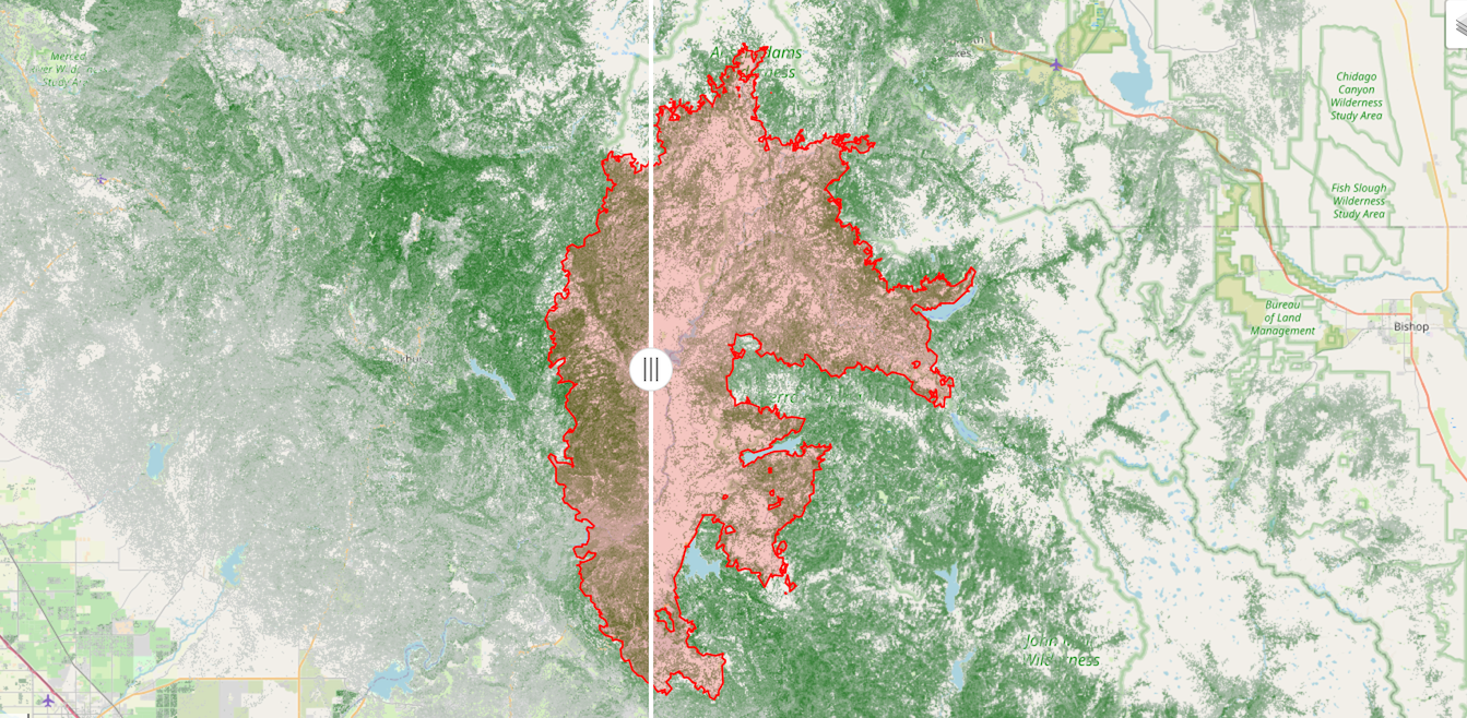
This project is a visualization of the forest cover in California before and after the Creek Fire. The red polygon represents the extent of the Creek Fire obtained from CalFire.